The alarm had been set for 06:15, but I was up by 05:45. Force of habit, I guess. At least I had more sleep last night than the previous couple of nights. My stomach also felt settled.
 |
| Sunrise over the Toubkal Refuges |
We weren't due to start our climb to the pass of Tizi n'Ouanoums (3,665m) until 07:30. It was our last day at the refuge, so some of us were already packing up their kit bags. I decided to wait until I got back from the Tizi. It would be less congested in the dorm room then.
We were all ready to go at 07:57 and set off in a Southerly direction down the valley, the same route as the previous day. Simon & Vicky decided not to accompany us and save their energy for the trek back to Imlil later in the afternoon. The climb up to the pass and back was expected to take 4 hours. Add to that the anticipated 6 hours for the trek back to Imlil. It's going to be an exhausting day.
We had a quick stop after about an hour and then continued further up the valley, retracing some of the path we went up the previous day. At around 09:30, we reached the point where we have to veer off the path that continues towards Ouanoukrim, and climb up the incline of the eastern slope of the valley.
 |
| Our group about to set off on the steep incline leading up to the pass |
 |
| The steep incline bearing from the bottom left to the top right, leading up to the Tizi n'Ouanums |
It took us 90 minutes to complete the ascent over the snow covered, wind swept slope. We paused for a 10 minute rest at the top of the slope before continuing for another 15 minutes up the zig-zag scree path that led up to the pass. It was difficult to tell when we arrived there, as we were not sure what to expect, but as we finally stepped onto the last zag, the whole panoramic view to the east appeared before our eyes. From this vantage point on the top of the pass we could see lake D'Infi, tucked in behind the massif of Mt. Toubkal on our left, with the peak more or less above us. The views were spectacular, well worth the effort and a fitting end to our climbing adventure.
 |
| The stunning views from our vantage point at the head of the pass. Lac D'Ifni on the far right |
After a short break, we headed back towards the refuge at a brisk pace. I felt a moment of sorrow and fell back from the rest of the group as I realised that I was finally leaving behind this beautiful & peaceful place, not knowing when I will be coming back. I did not want to leave the comfort of these mountains. They made be feel like I belonged here and was a part of them. It had been an amazing experience and I thanked these mountains for giving me the opportunity to re-discover myself and allowing me to extend the boundaries of my own limits. I stopped for a few minutes and closed my eyes to say farewell to this wonderful place, wanting to etch this moment in my mind.
While the rest of our group set down to have our final meal back at the refuge, I packed up my kit bag and then went around taking pictures of everything I wanted to remember about this place. The dorm rooms, the people, anything that would remind me of the amazing time I had over the past 3 days. Time will soon erode my memory. But the pictures will help me re-live the adventure in my mind, again and again.
We set off from the refuge at 13:00, making our way through the valley to Imlil, back the way we had come up to the refuge a few days ago. On the way, we passed a few people on their way to the refuge. I was almost envious of them, wanting to tell them of the wonderful time they were about to experience.
 |
| The path leading back to the refuge across the mountains side (centre) |
We arrived at Imlil at around 17:00, a mere 4 hours after we had left the refuge, 3 hours quicker than the time we had taken to go up to the refuge three days earlier. We cut through the streets and paths of this little town that has grown and become the gateway to the High Atlas Mountains. The livelihood of all the people living in this area depends on mountaineers making their way deep into the mountains. They welcome us with open arms.
 |
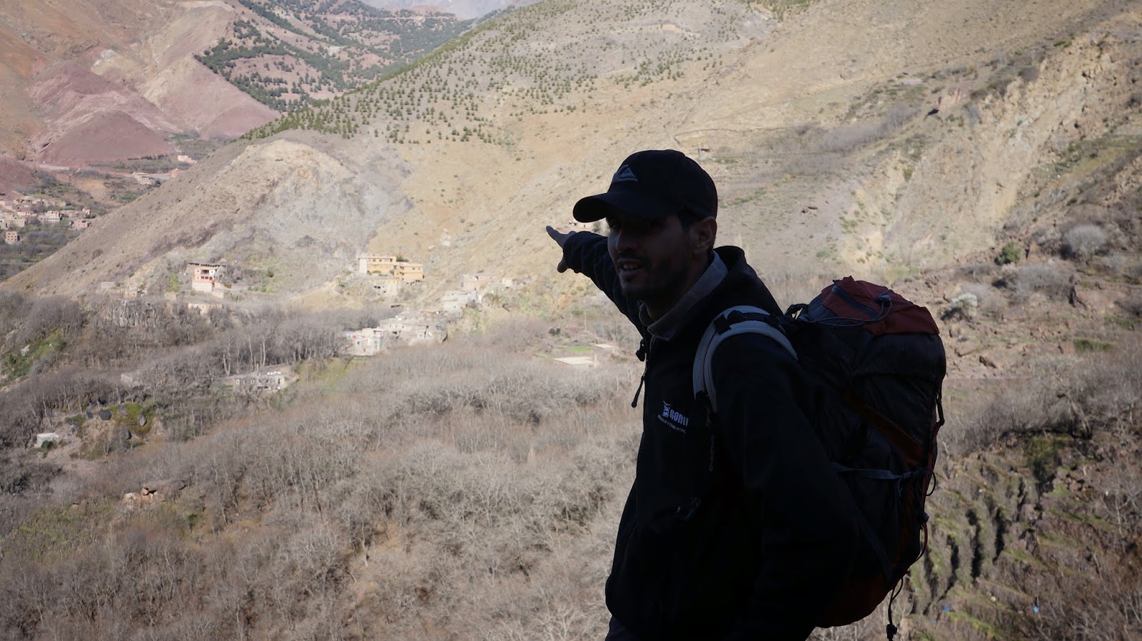
| Mohammed, our guide, pointing out his house on the hillside at Imlil. Mohammed runs his own mountaineering & adventure company in Morocco, www.activetreksmorocco.com |
As we approached the rendevous point where our minibus was waiting to take us back to Marrakech, I looked back one more time at the peak of Toubkal, which was set back behind other peaks, but still visible from Imlil. It looked so far away. It was hard to imagine that a couple of days ago we were at the top of that peak. It was Journey's End. I said my farewell and jumped into the minibus, looking forward to catching some much deserved sleep on the 2 hours way back to Marrakech.


Toubkal Ascent
ReplyDeleteThe ascent of Jbel Toubkal (4167m), North Africa’s highest mountain, is achievable during the summer months without specialist climbing skills. Most people who are reasonably fit and determined can achieve this goal and the views are magnificent – on a clear day you can see the Sahara.
More Information, http://toubkal-ascent.tw.ma